|
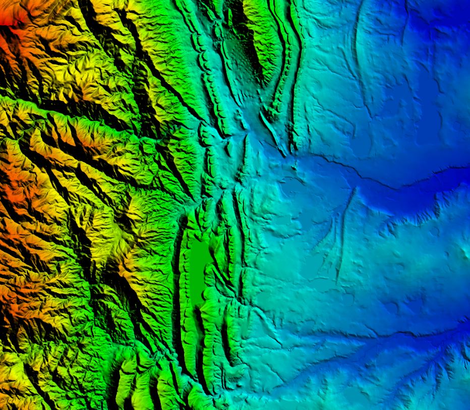
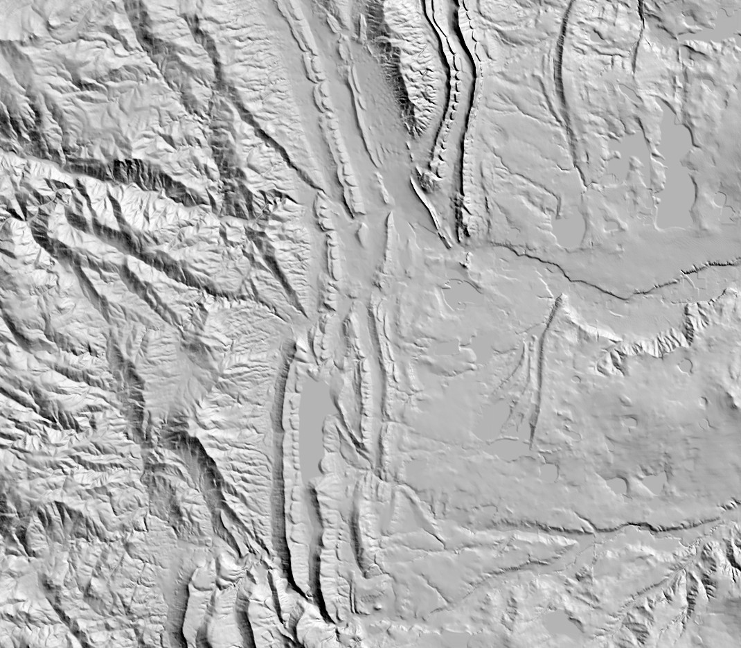
ChartTiff currently offers the 3DEP elevation data as 10-Meter (1/3 Arc Second) and 30-Meter
(1 Arc Second) Resolutions for the Continental US, AK, HI, and PR/VI. Can be purchsed as Individual 7.5 Minute Quads, Custom Areas (up to a 90 Minutes by 90 Minutes Area) and Full State Sets. In a user selectable Projection and Format.
Projections Available
UTM (Universal Transverse Mercator) - Meters / Feet / US Feet
State Plane - Feet / US Feet / Meters
Latitude / Longitude - Decimal Degrees
Web Mercator WGS84
Datums Available
NAD27, NAD83, WGS72 and WGS84
Vertical Elevations Available
Feet, Sub Feet, Meters and Sub Meters
Formats Available
USGS DEM Format
GeoTIFF Format
ESRI Grid Float Format
PLS-CADD ASCII Text, X,Y,Z format
ASCII Text, X,Y,Z (Comma, Tab or Space Delimited) formats
C Tech File Format
Optional Shaded Elevation Models can be added as an additional file.
For additional information:
About 3DEP Elevation Data
For 3DEP availability and pricing:
Order 3DEP Elevation Data
|